The Night Sky
- DEE SHARPLES –
Celestial navigation
The Ancient Art of Finding One’s Way By Looking Into the Night Sky
Plus…What to Look for in the Night Sky through March
Celestial navigation using the Sun, constellations, and individual stars has been practiced for thousands of years by sailors to find their way. Traveling on vast seas and oceans with no landmarks, they turned to the sky to guide them and determine their latitude (position north or south). Studying the stars, they realized these points of light were in all areas of the sky and they moved in a predictable, consistent manner night after night throughout the year.

Historical records show that the early Polynesian people navigated the Pacific Ocean for thousands of miles as early as 1200 BCE. The ancient Minoans, who lived on Crete from 3000 to 1100 BCE, navigated the Mediterranean Basin and into the Atlantic Ocean. Christopher Columbus used celestial navigation as he crossed the Atlantic looking for a water route to China and India in search of riches. Other navigational tools he utilized were a quadrant and astrolabe to measure the angle of a star in relation to the horizon to determine his latitude, a compass for direction, and an hour glass to measure time aboard ship. Determining longitude of a ship (position east or west) proved to be much more difficult.

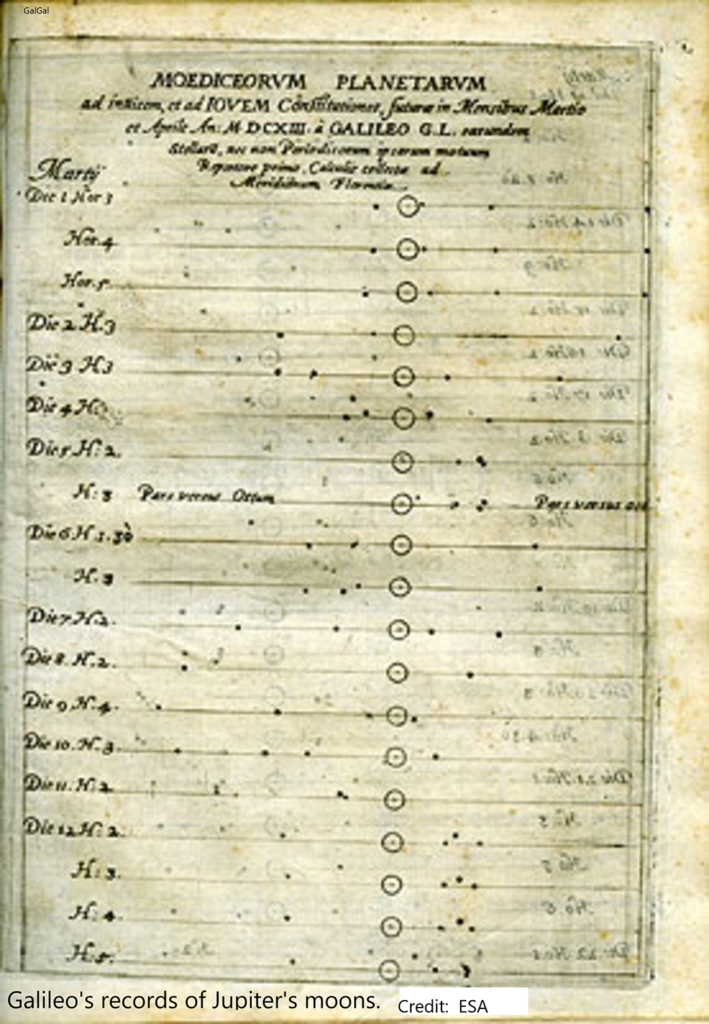
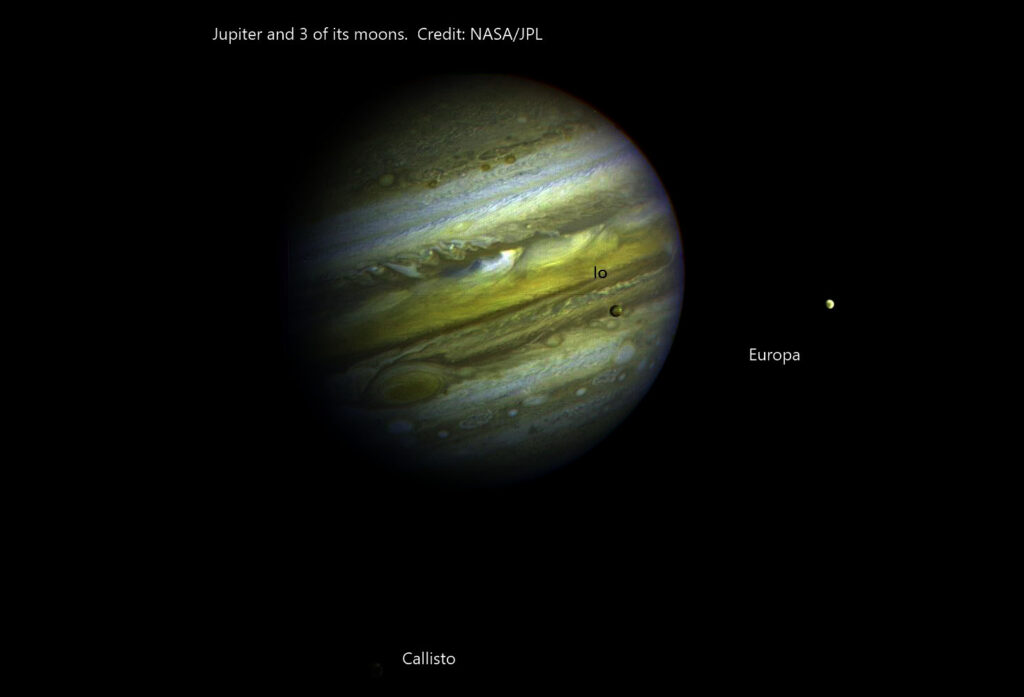
In 1610, when Galileo turned his telescope to the night sky, one of his first targets was the planet Jupiter. He saw four bright star-like objects in close proximity to the planet. Continuing to observe Jupiter, he soon realized these four objects were not stars at all. They were moons orbiting around the planet in an ever-changing, yet precise and synchronized, dance. These objects, called the Galilean moons in honor of their discoverer, are the largest of the 79 moons known today to be orbiting this gas giant planet. Although in recording his observations Galileo referred to them as I, II, III, and IV, over a century later, they were given the official names of Io, Europa, Ganymede, and Callisto, characters found in Greek mythology. Recording the movements of these moons, Galileo surmised that their exactly timed eclipses by Jupiter could be used by navigators to find a ship’s longitude. However, his idea wasn’t taken seriously for 150 years. By comparing the exact time on the ship with the time at the ship’s departure point, longitude could be determined. The Earth rotates ¼ degree every minute, or one degree in four minutes, making a complete 360 degree rotation in one 24 hour day. What was needed was a highly accurate timepiece carried aboard a ship which could compare these two times, but none yet existed.

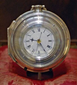
In 1714, the British Board of Longitude offered a prize of a large amount of money to anyone who could discover a way to measure longitude within 30 miles. It took over 40 years for a British cabinetmaker, John Harrison, to win the prize by making what was similar to a large jeweled pocket watch that kept time twice as accurately as the best clocks of that era. This chronometer and its precise time measurement ability, along with sextant readings of celestial objects to determine latitude, gave seafarers the ability to know their exact location on a map.
But using a telescope to observe Jupiter’s faint moons needed a perfectly stable surface. This method, seldom able to be used aboard sailing ships that were being constantly rocked by the churning seas, could be used from dry land. As long as a ship had either a perfectly still ocean or land nearby, its longitude could be determined.
In 1721, Great Britain established the Royal Observatory in Greenwich with the specific purpose of providing sailors with precise astronomical data to determine their latitude and longitude. They established the Prime Meridian (0 degrees longitude) at this location.
Publications like the Nautical Almanac, a British compendium created in 1766, gave the ephemeris* listing the exact rising and setting times and positions of the Sun and Moon, and included the dates and times of eclipses of Jupiter’s moons. The New Practical Navigator published by John Hamilton Moore in the early 1800s gave the following instructions for determining longitude using eclipses of Jupiter’s moons:
On the day preceding the evening on which it is proposed to observe an eclipse, look for the time when it will happen at Greenwich, in page 3d of the month in the Ephemeris. Find the difference of longitude either by a good map, sea chart, or dead reckoning.
“Let the watch be regulated by the sun with all possible exactness to the apparent time. Turn the difference of longitude into time, according as it is east or west of Greenwich, the sum or difference will be nearly the time when the eclipse is to be looked for in that place. But as the longitude is uncertain, it will be proper to begin 20 or 30 minutes before.
Observe the hours, minutes, and seconds of the beginning of the eclipse, called immersion, that is, the very instant that the satellite appears to enter into the shadow of Jupiter; or the emersion, that is, when it appears to come out of the same. The difference of time between the observed immersion, or emersion, and that set down in the Nautical Almanack, being turned into degrees, will give the difference of longitude between Greenwich and the place of observation.
While this detailed ephemeris data on eclipses of Jupiter’s moons continued to be available, finding longitude by this method was difficult and rarely practiced by navigators while at sea. By the end of the 1800s, navigation on the open seas improved tremendously. Astronomers, mathematicians, and chart and instrument makers provided all the knowledge and equipment needed.
* ә ‘fem(ә)rәs – a table giving the calculated positions of a celestial object at regular intervals throughout a period.

